
It commenced with the skiers, but soon became general among all people along the Wasatch Front. The people listened to their favorite meteorologist for the latest weather forecast. Some forecasting, "a trace of snow here!" and others, "three inches there!" Some contending for snow in the valleys, others for only rain.
During this time of great excitement I too was interested in how much snow we would receive. During this great excitement I hoped for lots of snow, and I looked at the many weather models for guidance.
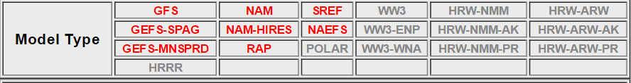
I first looked at the GFS, and felt that it could be a good guess. But other models, like the 12 km NAM, had much less snow in the valley, while the 4 km NAM put more snow in the valleys.


However, HRRR thins out the precipitation quite a bit, and sends most of the snow to the northern most part of the state...

The SREF, on the other hand, calls for high probability of snow and an inch or two of snow in the valley, with much higher chances in the mountains.


Still, it is difficult to predict how much snow we will get, and where that snow will fall. The 3-hour snow forecasts from a 21-model ensemble for Salt Lake spreads across such a great range, between .25 inches and 1.25 inches of snow...

What is to be done? Which of all these models is right; or, are they all wrong together? If any one of them be right, which is it??
No comments:
Post a Comment
Note: Only a member of this blog may post a comment.