Almost two summers ago I participated in the MATERHORN field campaign. Info about the study can be found here and here. My friend Sebastian took some amazing pictures and I wanted to share some of them.
 |
| There are no trees out in Dugway, but we still managed to find some shade. |
 |
| Towers like this were set up all over to measure meteorological data at different levels. |
 |
| No trees, but there was wildlife. We were the least worried about the antelope |
 |
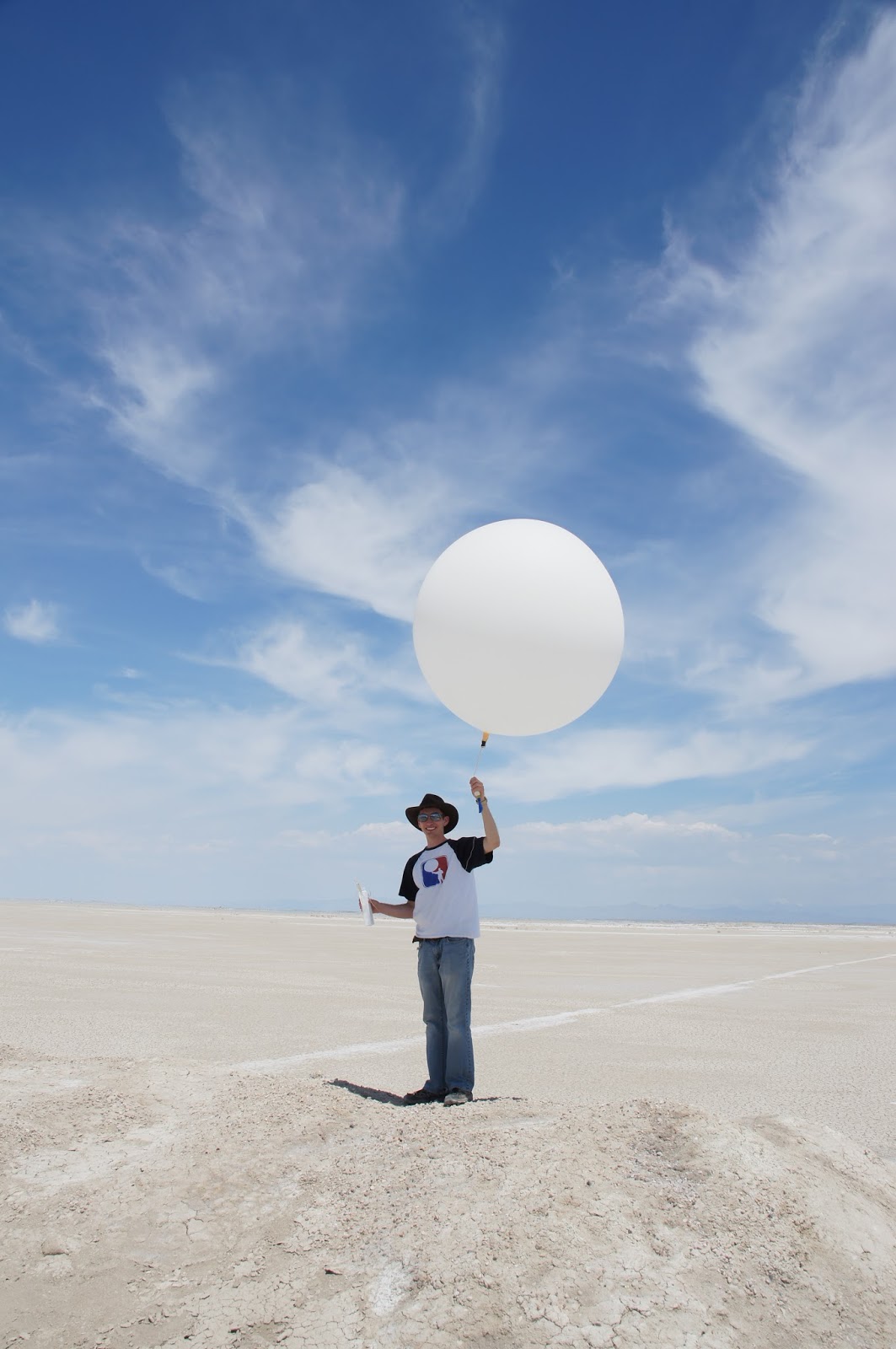
| And now a montage of my first weather balloon launch! |


 |
| Some students from the mechanical engineering department were testing a new instrument that climbed a tethersonde line. |
 |
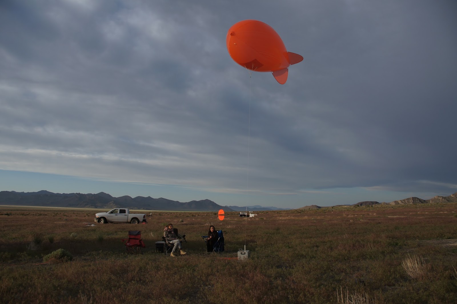
| Tethersondes! Don't they look like goldfish crackers? |
 |
| Every night was a pretty sunset. |

 |
| Line of met towers run up the hill. The whit box is a scanning lidar used to measure winds. |

 |
| Ceilometer used to measure aerosols in the boundary layer. |


 |
| It was cold in the morning. I was up all night running a tethersonde every half hour. Yeah, I didn't get much sleep that night. |
 |
| Sonic anemonetor. Uses sound waves to measure wind speed. |
 |
| Weather stations like this are scattered everywhere. |
 |
| Another sonic anemonetor |
 |
| More wildlife! Good thing I saw this before stepping on it. |


 |
| Lots of lizards |
 |
| These are known as HOBOs. I can't remember what that acronym stands for. |
 |
| Sebastian and I climbed Granite Peak looking for all the HOBOs. |


 |
| At the top of Granite Peak is this station. |

 |
| Almost stepped on another snake. |

 |
| Witnessed a halo one day. |
 |
| Wild horses. |

 |
| Sodars are also used to measure wind with sound waves. |


 |
| Another long night of tethersonde operations. |
 |
| And again, more wildlife. |

No comments:
Post a Comment
Note: Only a member of this blog may post a comment.