 Dark clouds are covering parts of Utah. I felt a few rain drops this morning when I was walking to work. It's trying to rain, but most of it is evaporating before it hits the ground. This kind of rain is called Virga.
We see in Utah County that the clouds are dark, but it doesn't look too wet. This is a view from American Fork looking west.
Another view this morning, from Salt Lake looking south...
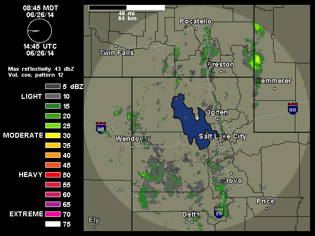
The radar composite scan (the sum of all the radar scans at all elevations) shows a lot of rain drops...
...but if we look at just the base scan (0.50 degree angle) we see much less reflectivity. This indicates that most of the rain from above is not reaching the ground.
Around noon a cold front will pass through Utah. This will bring rain, cooler temperatures (80ish), darker clouds, and possibly some lightning.
For the weekend the upper level flow becomes zonal and we'll see sunny skies and temperatures in the mid 80s.


No comments:
Post a Comment
Note: Only a member of this blog may post a comment.