
It looks like there is widespread rain in Utah county, but not many drops are actually.
Wow! Just saw the flash of light from this strike, and heard the thunder...
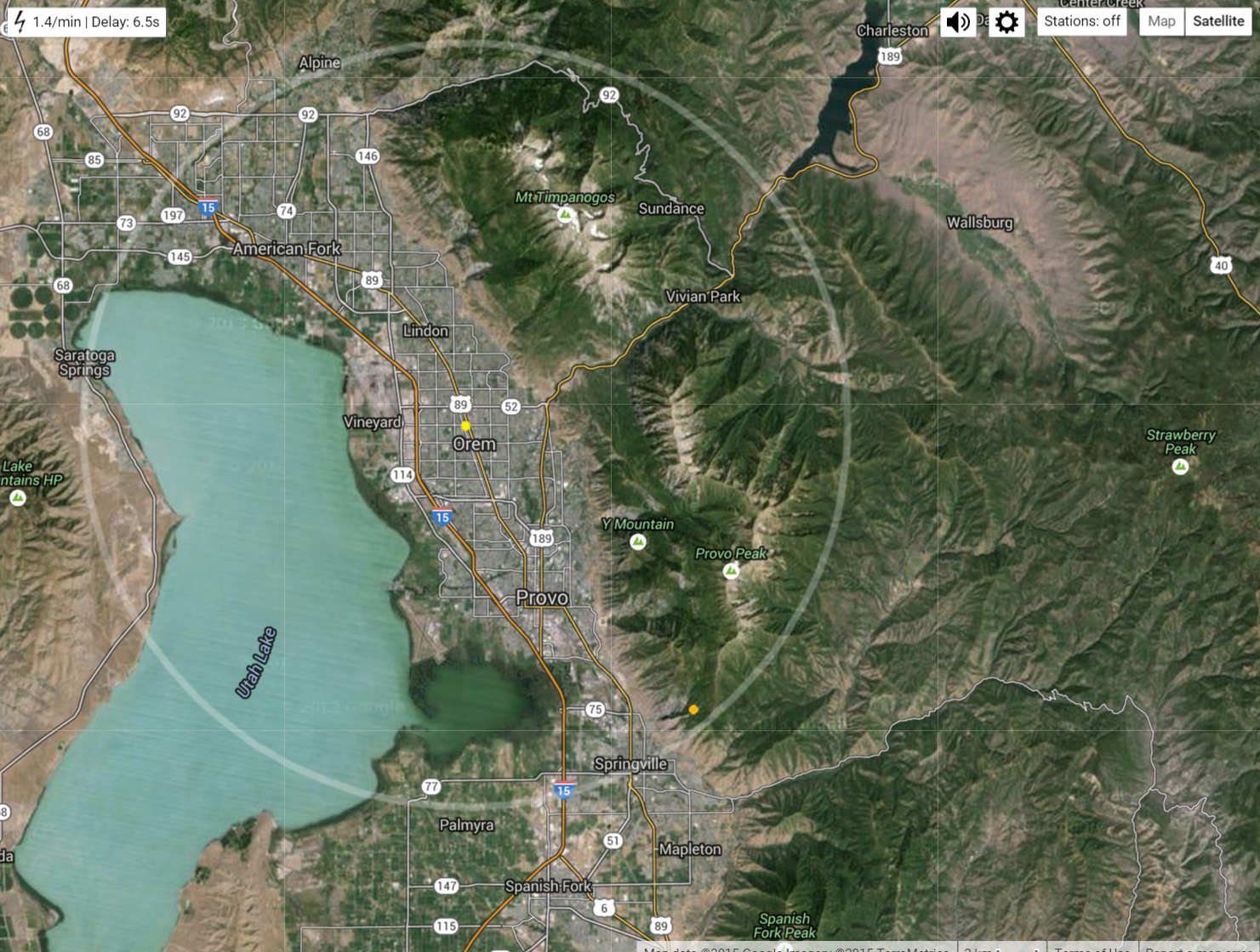
As I was saying, not many rain drops are reaching the ground. The radar illusion is caused because the rain drops are evaporating before they hit the ground. When the temperature reaches the wetbulb temperature we can expect rain, but a low wet-bulb temperature means the air is dry enough for water to evaporate. Yep, still a large gap between the actual temperature and the wetbulb temperature...

Evaporating water causes air to cool and sink rapidly. When the sinking air hits the ground it spreads laterally. That is why it has been fairly gusty here in Provo the last 15 minutes. See the recent spike to 15 mph winds...

Tomorrow I'll share and discuss some pictures of rain I experienced in Idaho's Sawtooth Mountain Range this weekend.
No comments:
Post a Comment
Note: Only a member of this blog may post a comment.