Thursday, November 20, 2014

More Snow for Buffalo

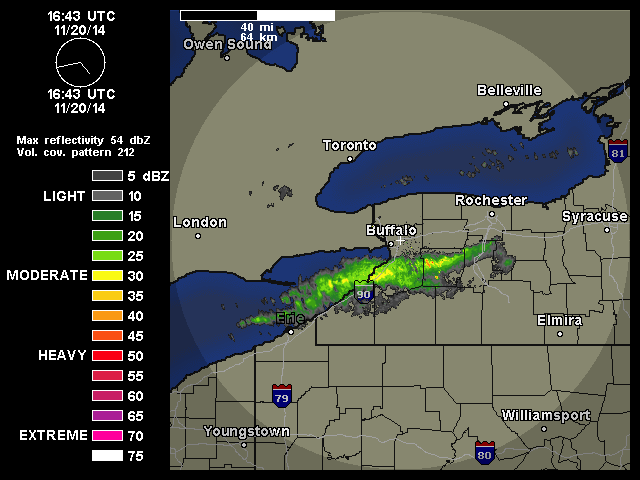
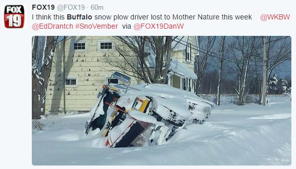
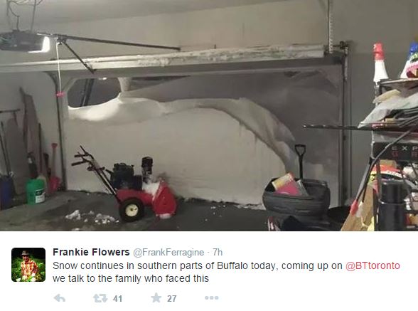
Another round of lake effect snow is pounding the area just south of Buffalo, New York. Some places report over six feet of snow in the last three days. 

And now a bunch of pictures from Twitter...


Wednesday, November 19, 2014

HRRR Forecast Skill

Curtis Alexander from NOAA/ESRL gave a webinar talk titled "Progress and plans for the operational HRRR model." The talk can be found here.

Below is just one slide from his presentation. It shows forecast skill of different methods of forecasting the weather. A persistence forecast, saying the weather will be the same later as it is now, has no skill beyond an hour. Extrapolation, or saying the weather trend will continue, does pretty good for an hour, but skill quickly decays. The HRRR model (dark green line) produce a better forecast than extrapolation after the first hour. After the first forecast hour the HRRR model is more accurate than persistence and extrapolation. As with all weather models, the forecast skill of the HRRR degrades over time, but still there is more skill in a HRRR forecast at six hours than a simple persistence or extrapolated forecast.
HRRR FAQs
HRRR Forum

Growth of Snow Crystal

Time lapse of snow crystals grown in a laboratory


Tuesday, November 18, 2014

40+ inches of snow: Buffalo Lake Effect

A strong lake effect snow storm has set up over the Great Lakes region today dumping over 40 inches of snow areas near Buffalo, New York. Lake effect snow storms are characterized by a stationary band of precipitation. In the radar loop below you can see the band of precipitation stays in the same spot. This is why they get so much snow!

Below is the visible satellite image


A time lapse video below shows is quite impressive.


For more pictures see Capital Weather Gang and Wasatch Weather Weenies blog posts.

Monday, November 17, 2014

It's Cold

Woo-Hoo! We almost got above freezing today!

source: NWS
The Provo Airport was actually one of the more cold areas along the Wasatch Front. Many stations have reported high temperatures above freezing, but I didn't see any temperatures above 40 today. Below show 24 hour max temperatures.
source: mesowest.utah.edu

source: mesowest.utah.edu

Tomorrow (Tuesday) will be cold again...
source: preview.weather.gov/edd

but we will warm up a little Wednesday, a little more on Thursday, and a little more on Friday (shown below)...
source: preview.weather.gov/edd