Wednesday, May 28, 2014

I Love Lightning!


I was selected to participate in a three week programming course sponsored by NASA at the University of Virginia. The workshop is called ISSCENS, an Intensive Summer School in Computing for Environmental Science. For eight hours a day we learn programming skills and complete tasks using Python, Fortran, Unix, and MPI.

The greenery in Virginia is endless. When I first arrived I was quickly reminded that I live in a desert (which is beautiful in its own way.) Charlottesville, Virginia had some light rain when I walked out of class this evening. Some of my classmates and I were almost back to the dorms when the rain began to downpour! If we had shampoo we might have washed out hair. Instead, we found a covered part of the sidewalk and we decided to wait the storm out. As weather geeks, someone had a radar app and we made a short forecast for the duration of the rain. We decided to stay under a covered sidewalk and wait six minutes before it would pass. Sure enough, the rain let up and we walked the rest of the way in a light drizzle. When I swiped the access card to the building I didn't think much about the flash of light I saw out of the corner of my eye, but the loud *CRACK* caught me by surprise as all the muscles in my body suddenly became tense. The lightning still scares me, but it's fun to watch. You don't have to be a meteorologist to appreciate a good lightning storm.

Vaisala's lightning detection network registered a lot of strikes in Virginia today:
Source: lightningstorm.com
There are no in-town weather stations that report to MesoWest, but some of the surrounding stations show up to an inch of rain in the last 24 hours. (I'd say in-town Charlottesville was on the 0.32 inches side of the spectrum).
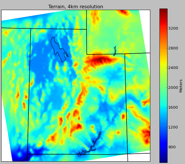
Source: MesoWest.utah.edu
It looks like tomorrow will be wet again, but the rain will probably not be accompanied with as much lightning. The reason for this is that the CAPE decreases as the weekend approaches. CAPE stands for "convective available potential energy." It is basically a measure of the buoyancy of the air. For air that is more buoyant it will have more CAPE which indicates it will likely rise quickly and often create thunderstorms. If there is low CAPE thunderstorms are harder to develop.

Below is the CAPE on Wednesday in the afternoon and the forecasted CAPE on Thursday afternoon:
Source: weather.utah.edu

Friday, May 23, 2014

more WRF

Yeah, I'm still playing with WRF. Mistakes that crash the program are quite common. Learning how to run successful WRF simulations is a long process and certainly takes practice. It has taken me a few days of playing with the options and settings to feel comfortable with the program. Anyways...I ran a weather simulation of May 20, 2014. It ran on 15 processors and finished in about 17 hours.

The model is made of a grid. Inside each box the WRF model calculated values for temperature, pressure, wind, and other variables to make a forecast. This simulation has three nested domains each centered over Spanish Fork.

The first domain has 12 km grid resolution and is nested inside the NAM model.

The second domain has a resolution of 4 km.

The third domain has a resolution of 1.33 km. You can see that as the resolution improves you can start to see all the details in the topography.

If you're familiar with Spanish Fork, 1.33 km is the distance from the Spanish Fork High School to the ballpark on Volunteer Drive. This is the length of each side of the grid box. Now you can see why weather models are kind of coarse--the forecasted weather is calculated once in the box, and we can see that only a few boxes would cover Spanish Fork. Also consider that this model is a higher resolution than the operational weather models the National Weather Service uses to issue forecasts. Why doesn't the National Weather Service just use weather models with better resolution? Well, that would take a lot of computer power that we don't have. Remember, this 24 hour forecast at this fine resolution took 17 hours to create.

Here are examples of the output (again, plotted in Python with Luke's code):

Dewpoint and Wind


Surface Pressure and Temperature


Wednesday, May 21, 2014

playing with WRF again

I tried making my own forecast for over Utah, but every time I adjusted the namelist files I could never get it to work. Maybe I don't know what I'm doing, so I went back to the tutorial and followed another example. This case shows 12 hours of Hurricane Katrina. The plots are made with the Python code from the UW student.

Just made two changes--latitude and longitude--to get the weather simulation over Utah during Katrina:

Tuesday, May 20, 2014

My first WRF run :)

The Weather Research and Forecast model (WRF) is used by scientists, researchers, businesses, and master's students to make weather forecasts or weather simulations. It is a free program that anyone can download and run on their own computers. If you decide to download and run WRF yourself I would suggest having a really good computer that is big and fast and has at least 10 processors. I recently went through the online tutorial and successfully completed my first WRF simulation. Below is an image of the forecasted temperature for the eastern United States on January 24, 2000. Pretty neat! Can you see where Florida is?


How do I explain why people should care about WRF? Well, what are the advantages of taking your broken car to a car mechanic? When your car doesn't work, you take it to a mechanic to get it fixed. The mechanic knows all the parts and pieces of your car. They diagnoses the problems that may cause your car to stop working properly, and then they repair or replaces broken parts with new and better parts to make your car run more smoothly. We use the WRF model for the same reason you take your broken car to a mechanic.

The weather forecasts are based on imperfect and broken weather models. They still work, and we make good forecasts with them, but there is still a lot of improvement we can make. Scientists who use WRF get "under the hood" of the weather model and try to diagnose the issues and make repairs. There are thousands of parts and pieces to the weather model and each piece can be fixed and improved upon. One major goal of weather research is to identify those issues and make repairs that will improve the performance of these models.

Using some Python code graciously shared online, I was able to quickly make some pretty plots of rain, winds, temperature, and pressure:

Monday, May 12, 2014

NASA's Integrated Precipitation and Hydrology Experiment (IPHEx)

When most people hear about NASA's science projects, they mostly think about astronauts in space. But NASA research also focuses on understanding our earth. A field experiment in the Appalachian Mountains this summer will hopefully answer questions about rain, hail, and fog formation and prediction in mountain regions. One of the major goals of the project is to develop methods for better observations of precipitation from satellites. Measurements from the ground will be used to validate measurements from the Global Precipitation Measurement (GPM) satellite. You can read more about the field campaign here.
GPM Satellite: NASA Eyes

Wednesday, May 7, 2014

Geocaching!

I have found a new hobby...Geocaching!!!

I've heard of people doing this before, and one day I thought, "Maybe that would be fun." When I went to geocaching.com I was surprised to see that geocaches are hidden everywhere!

Geocache locations in Spanish Fork
My sister and brother agreed to go with me on a 5.5 mile hike down the Spanish Fork River Trail and up to the Escalante Cross. We found four geocaches. None of us brought a pen to sign the piece of paper, but we did have a sewing pin. Instead of signing our names we each poked a couple holes in the paper to prove we had found it (as if these pictures don't prove we found the geocaches).
Our very first find!


Sunday, May 4, 2014

Bachelor of Atmospheric Science

May is a great month. The flowers start to grow out and the weather warms up. This particular May is very special to me...I graduated!!! Now I am a real atmospheric scientist :)

May 1st I graduated from the University of Utah as a Bachelor of Atmospheric Science degree. That was the longest and hardest I've ever worked for anything, and all that hard work paid off. I was honored as the Valedictorian of the College of Mines and Earth Sciences. Below is my speech.


Presenting the AMS member of the year award at the department awards dinner.


My best friends: Ian, Kyle, Brian (me), Brad, Clay, and Jon